Golden neighborhoods
Open a neighborhood to see its boundary map, local introduction, and links to explore further.
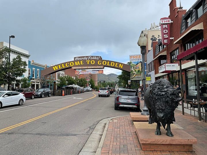
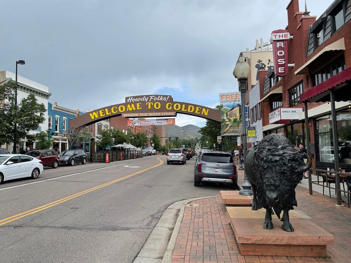
Downtown/Historic Golden
Explore the downtown and nearby historic residential streets around Washington Avenue and Clear Creek. Shops, restaurants and creekside paths are nearby; walking routes and home age vary by address.
Explore Downtown/Historic Golden →Mesa Meadows
A North Golden residential neighborhood at the base of North Table Mountain. Compare trail connections and mountain-view opportunities at the individual address.
Explore Mesa Meadows →Village at Mountain Ridge
Explore this North Golden subdivision and its foothill setting. Mountain views and trail access vary by property.
Explore Village at Mountain Ridge →Canyon View
Explore the Canyon View subdivision in North Golden. Compare each home’s setting, layout and everyday routes.
Explore Canyon View →Beverly Heights
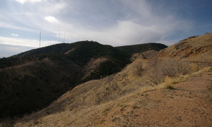
Explore Beverly Heights near the School of Mines and the lower slopes of Lookout Mountain. The area includes established mid-century homes; views vary by lot.
Explore Beverly Heights →Eagle Ridge/Stonebridge
Explore these neighboring South Golden residential areas together. Compare homes, lots and access to the surrounding community.
Explore Eagle Ridge/Stonebridge →Heritage Dells
An established South Golden subdivision near Heritage Dells Park and the Kinney Run Trail. Use designated public trails; adjacent open-space gulches do not all allow public access.
Explore Heritage Dells →Heritage Village
Explore Heritage Village in South Golden and compare its residential streets, home layouts and daily routes.
Explore Heritage Village →Golden Ridge
Explore Golden Ridge’s condominium options in South Golden. Association fees and common-area maintenance are separate from each owner’s responsibilities inside the home.
Explore Golden Ridge →Applewood Mesa
A Golden-area residential community outside the central city. Verify the individual address’s jurisdiction, lot characteristics and daily routes.
Explore Applewood Mesa →Sixth Avenue West
An established Golden-area subdivision near the Sixth Avenue corridor. Homes and jurisdiction vary by address; compare daily routes and property condition.
Explore Sixth Avenue West →Map outlines are guides to exploration, not legal property boundaries. Available coverage and source notes appear on the map.
Three places to start exploring
Clear Creek & downtown
Begin with a walk along the paved Clear Creek Trail through Golden. Multiple access points let you choose a short outing or a longer route. Spend time on nearby streets as well, and compare the actual walk, crossings and parking arrangements from each home on your list.
Find Clear Creek access ↗North Table Mountain surroundings
The mesa is a useful landmark for exploring North Golden. Jefferson County lists trail access from Highway 93 and Peery Parkway; choose a designated entrance and check current conditions. From nearby residential streets, compare the actual trail connection and the routes you would use beyond a weekend outing.
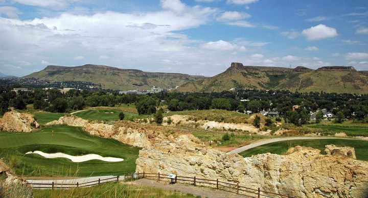
Explore North Table Mountain ↗South Table Mountain surroundings
Get to know the eastern side of Golden through designated South Table Mountain trails. Public paths sit alongside land where access is restricted, including Castle Rock. Use the County’s map to plan a visit, then compare the specific home’s surroundings and everyday routes without assuming private land is accessible.
Explore South Table Mountain ↗