Fort Collins neighborhoods
Open a neighborhood to see its boundary map, local introduction, and links to explore further.
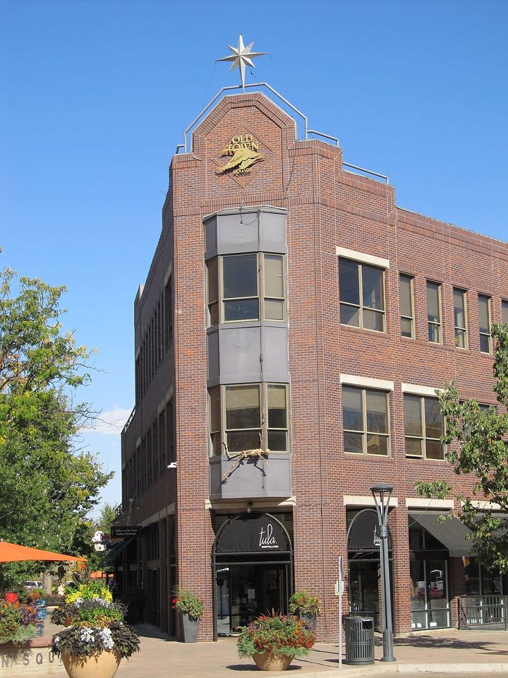
Downtown/Old Town Fort Collins
Explore the residential neighborhoods around downtown Fort Collins for older homes and access to shops and restaurants. Walking distance, historic status and home condition vary by address.
Explore Downtown/Old Town Fort Collins →City Park
Explore City Park in Fort Collins. Compare individual homes, their surroundings and everyday routes; amenities and community arrangements vary by property.
Explore City Park →Maple Hill
Explore Maple Hill in northern Fort Collins for newer-home options. Compare the specific home, community arrangements and daily routes.
Explore Maple Hill →Rigden Farm
Explore Rigden Farm in Fort Collins. Compare individual homes, their surroundings and everyday routes; amenities and community arrangements vary by property. Attached-home options are included; maintenance responsibilities depend on the property and association.
Explore Rigden Farm →Bucking Horse
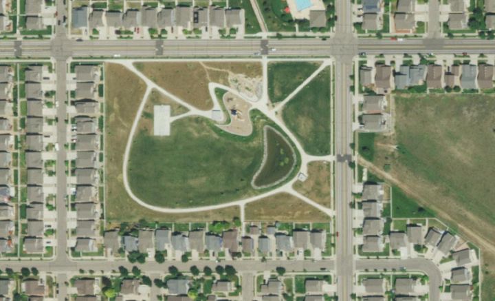
A planned Fort Collins neighborhood with an internal walking-trail network and nearby Bucking Horse Park. Compare individual home styles and community arrangements.
Explore Bucking Horse →Fossil Lake Ranch
Explore Fossil Lake Ranch in Fort Collins. Compare individual homes, their surroundings and everyday routes; amenities and community arrangements vary by property.
Explore Fossil Lake Ranch →Observatory Village
Explore Observatory Village in Fort Collins. Compare individual homes, their surroundings and everyday routes; amenities and community arrangements vary by property. Attached-home options are included; maintenance responsibilities depend on the property and association.
Explore Observatory Village →Harvest Park
Explore Harvest Park in Fort Collins. Compare individual homes, their surroundings and everyday routes; amenities and community arrangements vary by property. Attached-home options are included; maintenance responsibilities depend on the property and association.
Explore Harvest Park →Registry Ridge
A suburban Fort Collins neighborhood near the Long View and Fossil Creek trail corridors. Confirm the walking or cycling connection from the individual home.
Explore Registry Ridge →Ridgewood Hills
Explore Ridgewood Hills in Fort Collins. Compare individual homes, their surroundings and everyday routes; amenities and community arrangements vary by property.
Explore Ridgewood Hills →Brown Farm
An established Fort Collins subdivision developed from the 1970s, with older ranch, split-level and two-story homes. Older-home matching does not imply historic designation.
Explore Brown Farm →Parkwood
An established Fort Collins neighborhood with older homes, attached options and a private-lake setting. Water rights and maintenance responsibilities vary by property and association.
Explore Parkwood →Collindale
Explore Collindale in Fort Collins. Compare individual homes, their surroundings and everyday routes; amenities and community arrangements vary by property.
Explore Collindale →English Ranch
Explore English Ranch’s suburban homes and the walking paths at English Ranch Park. Routes and proximity vary by address.
Explore English Ranch →Huntington Hills
Explore Huntington Hills in Fort Collins. Compare individual homes, their surroundings and everyday routes; amenities and community arrangements vary by property.
Explore Huntington Hills →Willow Springs
Explore Willow Springs in Fort Collins. Compare individual homes, their surroundings and everyday routes; amenities and community arrangements vary by property.
Explore Willow Springs →Warren Shores
Explore Warren Shores in Fort Collins. Compare individual homes, their surroundings and everyday routes; amenities and community arrangements vary by property. Water views and lake-use rights vary by property; nearby water does not imply public or deeded access. Attached-home options are included; maintenance responsibilities depend on the property and association.
Explore Warren Shores →South College Heights
Explore South College Heights for established postwar homes, including ranch and split-level styles. Older-home matching does not imply formal historic designation.
Explore South College Heights →Alta Vista
Families who settled Alta Vista built adobe homes modeled on designs by builders Felipe and Pedro Arellano. A good place to begin a neighborhood walk today is the little park at 724 Alta Vista Street, where a playground and basketball court sit among the residential blocks.
Explore Alta Vista →Andersonville
In Andersonville, John and Inez Romero’s adobe home on 10th Street grew from two rooms to four as their family grew. Today the Museo de las Tres Colonias uses the house to tell the story of everyday life and sugar beet work in Fort Collins’ northside neighborhoods.
Explore Andersonville →Buckingham
Buckingham grew up near the sugar beet factory along the Lincoln Avenue corridor. Visit First Street to see how the neighborhood meets the Poudre River Trail. Buckingham Park has a community garden, and its location makes it a useful starting point for a ride along the river.
Explore Buckingham →Greenbriar
Greenbriar sits just north of the area covered by the City’s Northside Neighborhoods Plan. On Willox Lane, the neighborhood park has an irrigation pond and courts for tennis and basketball. Start a visit there to see how the streets you are considering connect to this shared outdoor space.
Explore Greenbriar →Indian Hills
Indian Hills is part of Fort Collins’ postwar expansion. Start near East Stuart Street and Dartmouth Trail to explore its residential streets, then head east on Stuart to Edora Park. There you can pick up the Spring Creek Trail, visit the community garden or play the disc golf course.
Explore Indian Hills →Mosaic
East of North Timberline Road, Mosaic includes townhomes and condominiums. Follow Sykes Drive to the site selected for Mariposa Park. The City’s project page is the place to check which features are open when you visit.
Explore Mosaic →Sheely Addition
Turn south from West Prospect Road onto Sheely Drive for a pocket of postwar architecture shaped by the slopes above Spring Creek. Eleven midcentury modern homes form the local landmark district. The City’s district map shows exactly which homes carry that designation within the broader Sheely neighborhood.
Explore Sheely Addition →Trail Head
Bring a bike to Traverse Park on Greenfields Drive for a first look at Trail Head in northeast Fort Collins. The park’s pump track gives riders a place to practice, while walking paths offer a different way to explore the park before heading back through the residential streets.
Explore Trail Head →University Acres
University Acres occupies ground where Colorado State University once grew experimental crops. The streets curve with the terrain, and many garages face the street. Compare the houses along Green Street and Morgan Street to see how different builders interpreted the same midcentury idea of suburban living.
Explore University Acres →Village West
West-central Fort Collins has a pocket of summer recreation on Valley Forge Avenue. The Village Green Pool serves both Village West and neighboring Lexington Green, with separate resident and nonresident memberships. Its published maps let you check which membership category applies to an individual address.
Explore Village West →Neighborhood outlines and names are guides to exploration, not legal property boundaries. Specific home styles, trail connections, fees, and access rights vary by address.
Three places to start exploring
Old Town & the square
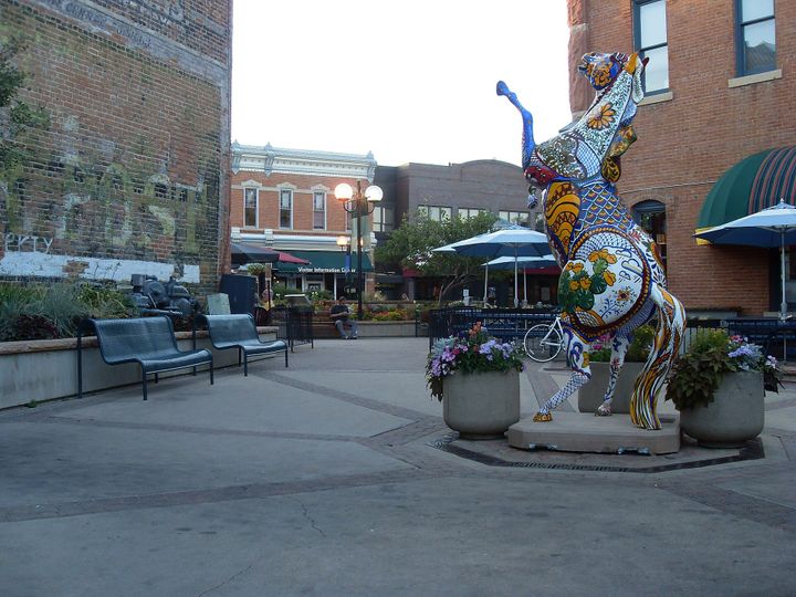
Begin at Old Town Square, a pedestrian gathering place shaped by the surrounding historic streets. Spend time on the nearby blocks as well as in the plaza. Visit during an ordinary weekday and an evening, then compare how a particular home connects to the places you would return to.
Explore Old Town Square →City Park & Sheldon Lake
Explore City Park in northwest Fort Collins, with Sheldon Lake and a range of recreation facilities in one setting. Consider which activities you would actually use and check their current schedules. Walk the surrounding streets and test crossings instead of assuming that every nearby home has the same connection.
Plan a City Park visit →Poudre corridor connections
Follow a stretch of the paved Poudre Trail to experience Fort Collins from the river corridor. The City lists access and facilities along the route, including Lee Martinez and Buckingham parks. Check current trail conditions, then trace the connection from a prospective home to see whether it suits your routine.
Explore the paved trail network →