How Long Is the Lake Estes Trail? A Guide to the Paved Loop
Walk the roughly four-mile Lake Estes loop or make it a shorter waterfront outing. Compare visitor center, Fisherman’s Nook and marina access.
Budget for about four miles
The Estes Valley Recreation and Park District describes the Lake Estes Trail as a paved four-mile loop. That figure applies to the trip around the lake. Your actual walk may be longer if you approach from downtown or take a detour along the shore. For a group deciding whether to go all the way around, use your usual walking pace for four miles and add time for photographs, water breaks and finding your way back to the car.
Start on the right side of the visitor center
The town visitor center is a useful starting point for a first visit. Go east for the Lake Estes Trail. Going west takes you along the Riverwalk into downtown. If you have plans to eat in town after the walk, that junction makes it easy to do both on foot. For a shorter outing, walk toward the lake until you find a view you like and return the way you came.
Compare the parking options
The district lists access from the visitor center, the parking garage and Fisherman’s Nook. It also lists paid-entry parking at Cherokee Draw, Wapiti Meadows and the marina. Pick your access point before setting out, particularly if you and a friend are meeting in separate cars. A pin that says only “Lake Estes” leaves a lot of shoreline between possible starting points. Check current parking signs when you arrive.
Choose a stretch you will enjoy twice
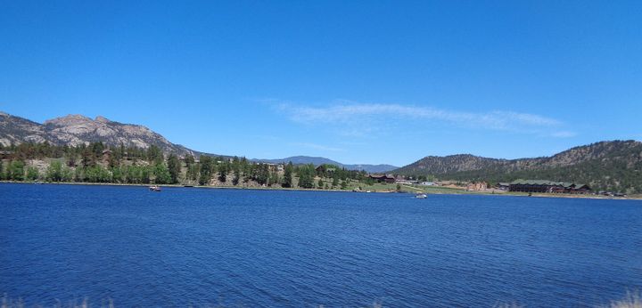
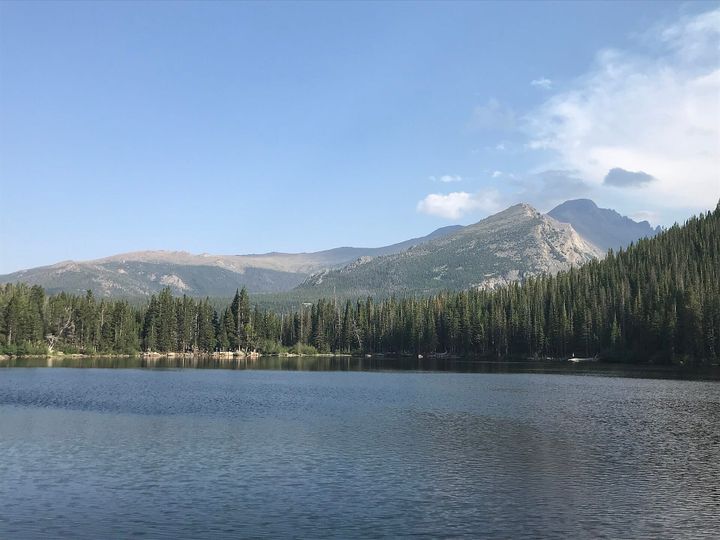
The state trail map is handy for matching parking areas to the stretch of shore you want to see. A loop gives you a changing angle on the mountains and water. An out-and-back lets you watch the same view change as clouds move through. If you are squeezing the walk in before dinner, set a turnaround time and save the full circuit for a day with room to linger.